 vesseltracker.com
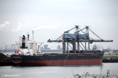
Vessel MOUNT LOGAN IMO: 9641900, MMSI: 636020969 Bulk Carrier
UTC, 13.35085, 110.02407, course: 355, speed: 10
UTC, 13.78604, 109.98870, course: 5, speed: 10.6
2026-02-28 16:05:42 UTC, 14.07693, 109.99014, course: 350, speed: 10.2
Live AIS position:
UTC. 21 nm NE of Tan Cang Qui Nhon),
updated 2026-02-28 16:05:42 UTC.
Find the position of the vessel MOUNT LOGAN on the map. The latter are known coordinates and path.
marine traffic ship tracker show on live map
The current position of vessel MOUNT LOGAN is 14.07693 lat / 109.99014 lng. Updated: 2026-02-28 16:05:42 UTCCurrently sailing under the flag of Liberia
MOUNT LOGAN built in 2013 year
Deadweight:
181412 tDetails:
Last coordinates of the vessel:
UTC, 13.03157, 110.01567, course: 350, speed: 9.6UTC, 13.35085, 110.02407, course: 355, speed: 10
UTC, 13.78604, 109.98870, course: 5, speed: 10.6
2026-02-28 16:05:42 UTC, 14.07693, 109.99014, course: 350, speed: 10.2